


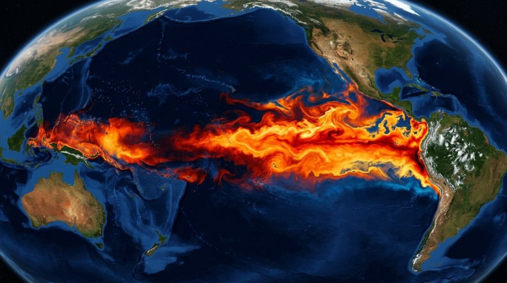
Oceanographers watched the numbers climb through late 2023 and early 2024 with the kind of dread that comes from recognizing a pattern too familiar to ignore. Sea surface temperatures in the central and eastern Pacific weren’t just warm; they were shattering benchmarks set during the infamous 1997-98 and 2015-16 events. By mid-2024, the ocean temperature record had fallen, and the event had earned a label that keeps emergency planners awake at night: a super El Niño.
Now, with the 2024-25 event still reverberating through global weather systems, attention has pivoted hard to what comes next. Models are already hinting at uncomfortable odds. Several ensembles put another significant warming event in play for 2025-26, with some runs sketching out conditions that could match or even surpass what we just lived through. Search traffic tells part of the story; people are looking for super el nino 2026 forecasts in numbers that suggest more than casual curiosity. They’re preparing.
What made the 2023-24 El Niño “super”

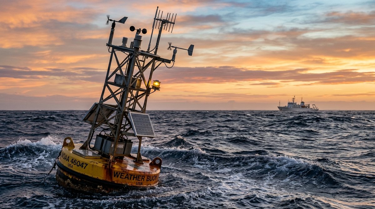
The El Niño-Southern Oscillation, or ENSO, cycles between three phases: warm El Niño, cool La Niña, and neutral. Not every El Niño earns the “super” designation. That label gets reserved for the strongest events, typically defined by sustained sea surface temperature anomalies of at least 1.5°C above the long-term average in the Niño 3.4 region, with the most powerful episodes pushing past 2.0°C.
Monthly anomalies hit roughly 2.1°C at the 2023-24 peak. That puts it among the heaviest hitters on record. BOM and NOAA both tagged it strong to extreme, though the exact classification shifted depending on which index you checked. What pushed it past merely “strong” was how long the warmth lasted and how far it spread. The warm pool bulged unusually far west, throwing atmospheric circulation across the whole Pacific basin out of whack.
These super events rewrite regional climate patterns with disproportionate force. Indonesia and northern Australia face amplified drought and fire risk. The Amazon dries out. Eastern Africa’s short rains fail. And along North America’s Pacific coast, the jet stream shifts, redirecting storm tracks into California and the desert Southwest with unusual intensity.
Reading the 2026 super El Niño forecast signals
Long-range ENSO prediction remains one of meteorology’s toughest challenges. Spring in the Northern Hemisphere breaks models. Warm water and shifting winds tangle into feedback loops that defy clean projection; meteorologists call it the spring predictability barrier for good reason. Still, a few diagnostic tools are already flashing yellow for the 2025-26 window.
The International Research Institute for Climate and Society at Columbia University publishes consolidated model forecasts that blend dynamical and statistical predictions. Their mid-2024 outlook gave El Niño decent odds of hanging on into early 2025, with a real possibility of re-intensification or a quick rebound late that year. Beneath the surface, several signals have researchers uneasy:
- Subsurface warm water volume in the equatorial Pacific, a leading indicator, stayed elevated even when surface temperatures backed off temporarily
- The Pacific Decadal Oscillation flipped warm, which tends to prime the basin for stronger El Niño events
- Each El Niño now starts from a higher baseline; climate change has pushed ocean temperatures up, so extreme thresholds are easier to hit
- Trade wind patterns have matched pre-super El Niño signatures from historical analog years
NOAA’s Climate Prediction Center admitted in mid-2024 that details past spring 2025 get hazy. But El Niño odds for the 2025-26 winter already sat above historical averages. The super el nino 2026 scenario isn’t the most probable outcome. It sits far enough inside possibility, though, that ignoring it would be negligent planning.
Regional risks: California, Texas, Arizona and beyond
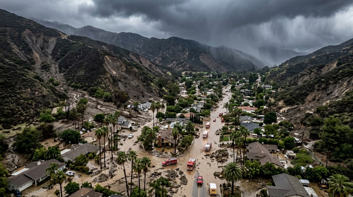
The geographic specificity of search interest reveals where memories run deepest. Super el nino 2026 california queries spike because the state knows this story too well. Parts of Southern California swallowed 30+ inches of rain during the 1997-98 super El Niño. Malibu and Laguna Beach saw catastrophic mudslides. Statewide agricultural losses hit $550 million.
For super el nino 2026 southern california specifically, burned landscapes are the worry. From 2023 into 2025, massive wildfires ripped through Los Angeles, Ventura, and San Diego counties. Recovery lags. Root systems that held slopes together haven’t regrown. If 1997-98-style rains hit those burn scars, debris flows could be brutal. San Diego’s canyon neighborhoods, super el nino 2026 san diego searchers apparently know, sit directly in harm’s way.
Texas presents a different risk profile. Super el nino 2026 texas interest reflects the state’s vulnerability to both flooding and severe weather displacement. Strong El Niño winters often split the subtropical jet. One branch drags moisture across the Gulf Coast. The 2015-16 event hammered Houston and central Texas with repeated heavy rain, saturating soils that would flood later.
Arizona’s concerns track similarly. Super el nino 2026 arizona searches come from a state that saw its wettest winter on record during 1997-98. Phoenix got hit repeatedly with atmospheric river remnants; flooding spread everywhere. Desert infrastructure wasn’t built for storms that arrive in clusters. It handles infrequent intense rainfall fine. Clustered events overwhelm it.
Here’s how two super El Niño events played out across key U.S. regions. Figures come from NOAA National Centers for Environmental Information storm event databases and USGS flood assessments.
| Region | 1997-98 Event | 2015-16 Event |
|---|---|---|
| Northern California | Second-wettest water year on record; severe flooding on Russian and Napa rivers | Near-average northern rainfall; drought relief limited to northern Sierra |
| Southern California | Record winter rainfall; 1998 was Los Angeles’s wettest year since 1884 | Below-average Southern California rainfall; strong north-south gradient |
| Texas | Above-normal winter precipitation; severe weather outbreaks increased | Wettest winter-spring period on record for parts of East Texas |
| Arizona | Wettest winter on record statewide; Phoenix had 5.5 inches December-February | Above-median precipitation; snowpack improved but not exceptionally |
These two events couldn’t have played out more differently in places. That variability is the point. Super El Niño guarantees disruption. Where exactly? That’s substantially less certain. The 2015-16 “failed” Southern California rains, which showed up in the Pacific Northwest instead, caught plenty of preparedness plans off-guard.
Global humanitarian stakes
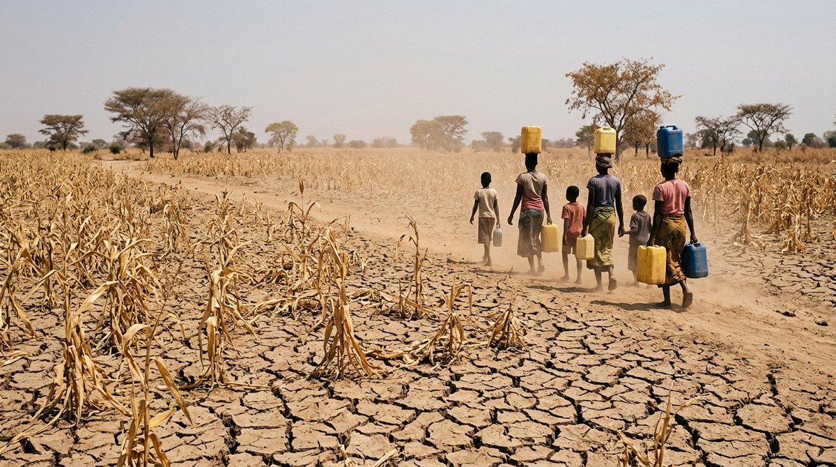
While Americans search for super el nino 2026 california impacts, aid organizations are modeling consequences far from U.S. headlines. The 2023-24 event contributed to drought-induced crop failures in Southern Africa, where Zimbabwe, Zambia, and Malawi declared national disasters. The World Food Programme ramped emergency operations across the region. Maize production in key growing areas dropped 20-40%.
El Niño’s teleconnections rearrange tropical rainfall with almost mechanical regularity. The western Indian Ocean warms; convection over East Africa collapses. The western Pacific warm pool slides east; Indonesia and Papua New Guinea dry out. The Amazon’s dry season deepens, setting the stage for fire.
The February 2024 temperature records offered a preview of how super El Niño and background warming compound. Global mean surface temperature that month exceeded the 1.5°C threshold above pre-industrial levels for the first twelve-month period on record, according to Copernicus Climate Change Service data. The event itself didn’t cause this crossing alone; decades of greenhouse gas accumulation built the foundation. But El Niño’s additive warming pushed the climate system into territory that emissions trajectories had suggested wouldn’t arrive until later.
For humanitarian planners, the 2025-26 window presents a specific nightmare: the possibility of back-to-back major ENSO events with insufficient recovery time. La Niña typically follows strong El Niño, bringing its own disruptions. But if the system rebounds quickly into another warm event, resource-depleted communities would face successive blows.
What is super el nino 2026, and why definitions matter
The phrase what is super el nino 2026 surfaces in search data because the terminology itself lacks standardization. Agencies don’t agree. NOAA’s Oceanic Niño Index runs on three-month means. Australia’s SOI-based method folds in atmospheric pressure patterns. Japan’s Meteorological Agency monitors a slightly different patch of ocean.
This matters for preparedness. A “super” classification triggers specific emergency protocols in some countries but not others. Indonesia’s disaster management agency, BNPB, activates national response frameworks for strong El Niño alerts. The Philippines pre-positions relief supplies. California’s Department of Water Resources adjusts flood control reservoir operations.
The el super framing that appears in some search queries (reflecting Spanish-language interest, given Latin America’s extreme ENSO vulnerability) points to the same underlying phenomenon: an event strong enough to reorganize global weather patterns for 9-18 months, with peak impacts during the November-March boreal winter.
For practical purposes, the working definition that matters is functional rather than technical. Will the event be strong enough to shift the Pacific jet stream sufficiently to redirect storm tracks into California and the Southwest? Suppress the Atlantic hurricane season through wind shear enhancement? Trigger drought emergencies across Southern Africa, the Horn of Africa, and Central America? Generate sufficient ocean warming to stress coral reefs already weakened by previous bleaching events?
The 2023-24 event checked all these boxes. The 2025-26 outlook remains uncertain, but the probability of another such event is non-negligible enough that the extreme weather crisis planning horizon has already extended to include it.
Building resilience before certainty
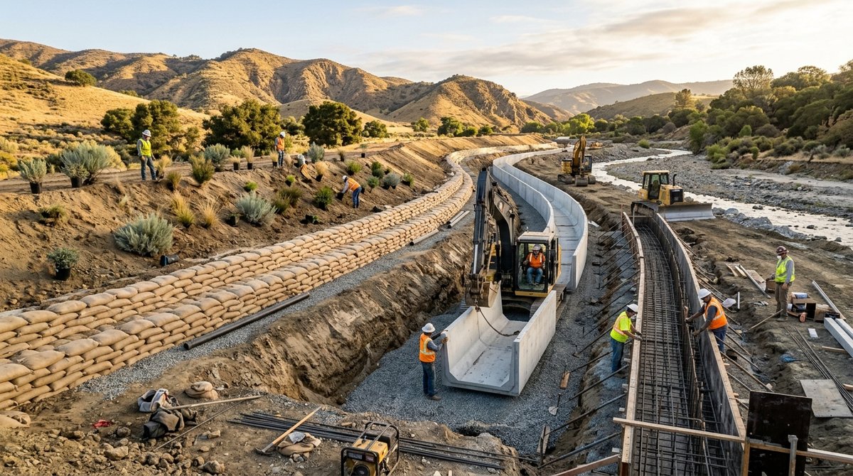
Waiting for forecast confidence means waiting too long. The physical preparations for a potential super el nino 2026 must begin during the preceding spring and summer, when model skill remains lowest. This creates an inherent tension in disaster risk management.
California’s approach illustrates the challenge. The state has invested billions in flood system modernization since 1997-98, including the $2.5 billion Oroville Dam repairs and ongoing Sacramento-San Joaquin Delta improvements. Yet urban flood exposure has grown faster than infrastructure, with development in historic floodplains outpacing risk mapping updates. Burn scar debris flow risk, as noted, represents an emerging threat without historical precedent at current scales.
For individuals in search-heavy regions, practical preparedness steps include reviewing flood insurance coverage (including the 30-day waiting period before NFIP policies take effect), clearing drainage systems and maintaining sump pumps before autumn rains begin, monitoring burn scar evacuation zone maps if located near recent wildfire areas, preparing for extended power outages from wind and rain, and understanding that El Niño shifts tornado risk geography, not just intensity.
Frequently asked questions
Understanding super El Niño basics
What makes an El Niño “super” versus strong or moderate?
A super El Niño typically refers to events with sustained sea surface temperature anomalies exceeding 1.5°C in the Niño 3.4 region, with the most extreme episodes surpassing 2.0°C. The 1982-83, 1997-98, and 2015-16 events are the canonical examples in the modern record. These events produce global climate impacts that are stronger and more spatially extensive than moderate events, though the exact geographic pattern varies.
How does super El Niño 2026 differ from regular El Niño forecasting?
The super el nino 2026 discussion specifically addresses the possibility of an extreme event in the 2025-26 Northern Hemisphere winter. Regular El Niño forecasting focuses on whether warm conditions will develop at all; super event forecasting attempts to distinguish intensity levels with limited skill. Current models suggest elevated odds for El Niño conditions during this period, with a tail risk of extreme intensity.
Why are people searching for super el nino 2026 Texas and California specifically?
Search patterns reflect regional vulnerability and recent experience. Both states suffered significant impacts from past super El Niño events and have large populations exposed to flood, landslide, and severe weather risks. California’s 1997-98 experience and Texas’s 2015-16 flooding create direct memory triggers. The specificity of super el nino 2026 california and super el nino 2026 texas searches suggests people are moving beyond general curiosity to location-specific preparedness.
Preparation and impacts
What should residents in super El Niño 2026 Southern California watch for?
Key concerns include debris flows on burn scars, coastal erosion from elevated sea levels and storm surge, urban flooding in areas with inadequate drainage, and infrastructure stress from saturated soils. The super el nino 2026 southern california risk profile differs from Northern California primarily in the burn scar vulnerability and the more variable historical rainfall response.
How reliable are long-range forecasts for 2026 super El Niño conditions?
Forecast skill for ENSO beyond six months remains modest. The spring predictability barrier, typically March-May, represents a fundamental limit in current models. However, some precursors (subsurface ocean heat content, wind stress patterns) provide limited guidance for the following winter. The 2026 super el nino forecast should be treated as probability-based guidance, not prediction, with confidence increasing substantially by late summer 2025.
Does climate change make super El Niño events more likely?
Research published in Nature Climate Change and other peer-reviewed journals suggests that while ENSO itself will continue, the most extreme warm events may intensify under continued greenhouse gas forcing. The baseline warming of tropical Pacific waters means each El Niño starts from a higher temperature foundation. However, the scientific consensus, as reflected in IPCC assessment reports, holds that detecting an anthropogenic signal in ENSO amplitude remains challenging against natural variability.
Sources
- National Oceanic and Atmospheric Administration, 2024. “El Niño/Southern Oscillation (ENSO) Diagnostic Discussion.” Climate Prediction Center. https://www.cpc.ncep.noaa.gov/products/analysis_monitoring/enso_advisory/ensodisc.shtml
- International Research Institute for Climate and Society, 2024. “ENSO Forecasts.” Columbia University. https://iri.columbia.edu/our-expertise/climate/forecasts/enso/current/
- IPCC, 2021. “Climate Change 2021: The Physical Science Basis.” Working Group I Contribution to the Sixth Assessment Report. https://www.ipcc.ch/report/ar6/wg1/
- NOAA National Centers for Environmental Information, 2024. “U.S. Billion-Dollar Weather and Climate Disasters.” https://www.ncei.noaa.gov/access/billions/
- Australian Bureau of Meteorology, 2024. “ENSO Outlook.” http://www.bom.gov.au/climate/enso/
- Copernicus Climate Change Service, 2024. “February 2024: Exceptional Warmth Continues.” https://climate.copernicus.eu/february-2024-exceptional-warmth-continues
- World Food Programme, 2024. “Southern Africa: El Niño-Induced Drought Emergency Response.” [VERIFY]
- U.S. Geological Survey, 1998. “Southern California Floods and Debris Flows, 1997-98.” https://pubs.usgs.gov/fs/1998/fs006-98/
This article is for informational purposes only.


Dr. Alexander Tabibi is an entrepreneur, investor, and advocate for sustainable innovation with a deep commitment to leveraging technology for environmental and social good. As a thought leader at the intersection of business and sustainability, Dr. Tabibi brings a strategic vision to Green.org, helping guide its mission to inspire global climate awareness and actionable change.
With a background in both medicine and business, Dr. Tabibi combines analytical rigor with entrepreneurial insight.